Historical Airphoto Processing (HAP) with PCI Geomatics 
This course offered by PCI Geomatics, using Geomatica Desktop Image Processing Software and the Historical Airphoto Processing (HAP) Module, is perfect for those interested in rescuing old air photos for planning, change detection and more. In just 4-6 hours, you'll learn how to take your scanned air photos and create great looking ortho mosaics and elevation models. Everything you need is provided - sample imagery, trial software and reference information. With the help of the instructor, you'll be able to work with a licensed version of Geomatica and sample data sets to follow along. Don't miss out on this opportunity to unlock the potential of your old air photos! ▼
ADVERTISEMENT
Course Feature
![]() Cost:
Cost:
Free
![]() Provider:
Provider:
Udemy
![]() Certificate:
Certificate:
No Information
![]() Language:
Language:
English
![]() Start Date:
Start Date:
2016-10-13
Course Overview
❗The content presented here is sourced directly from Udemy platform. For comprehensive course details, including enrollment information, simply click on the 'Go to class' link on our website.
Updated in [July 25th, 2023]
This course offered by PCI Geomatics, using Geomatica Desktop Image Processing Software and the Historical Airphoto Processing (HAP) Module, is perfect for those interested in rescuing old air photos for planning, change detection and a myriad of other applications. In this course, students will learn how to take scanned air photos and create great looking ortho mosaics and elevation models. The course materials (videos) run for just over 1 hour and the expected time to complete the course is 4-6 hours. Students will be able to work with a licensed version of Geomatica as well as sample data sets to follow along with the instructor. All of the reference information and trial software (Geomatica includes a HAP trial license) needed to complete the course is provided.
Course Syllabus
Introduction and course overview
Image preparation and getting started
Image Alignment through iterative model calculation and refinement
Product Generation Steps - Surface and Terrain Models, Orthos and Mosaic
Course Provider

Provider Udemy's Stats at AZClass
Discussion and Reviews
0.0 (Based on 0 reviews)
Explore Similar Online Courses

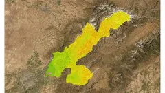
Spatial mapping of water erosion with MCDA tool in ArcGIS

Ultimate 2022 Digital Circuits and Logic Design course

Python for Informatics: Exploring Information

Social Network Analysis

Introduction to Systematic Review and Meta-Analysis

The Analytics Edge

DCO042 - Python For Informatics

Causal Diagrams: Draw Your Assumptions Before Your Conclusions

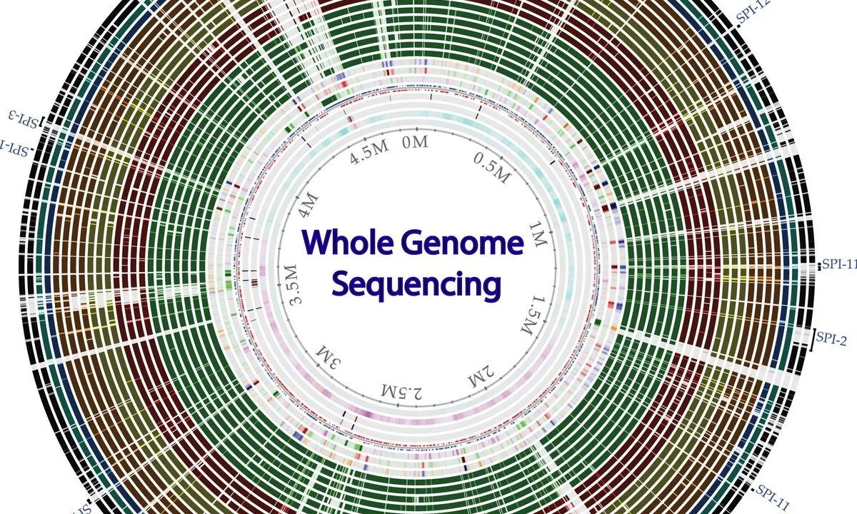
Whole genome sequencing of bacterial genomes - tools and applications

Geospatial Information Science and Technology Online Masters Program

Building Cloud based Geospatial Raster Service


Start your review of Historical Airphoto Processing (HAP) with PCI Geomatics